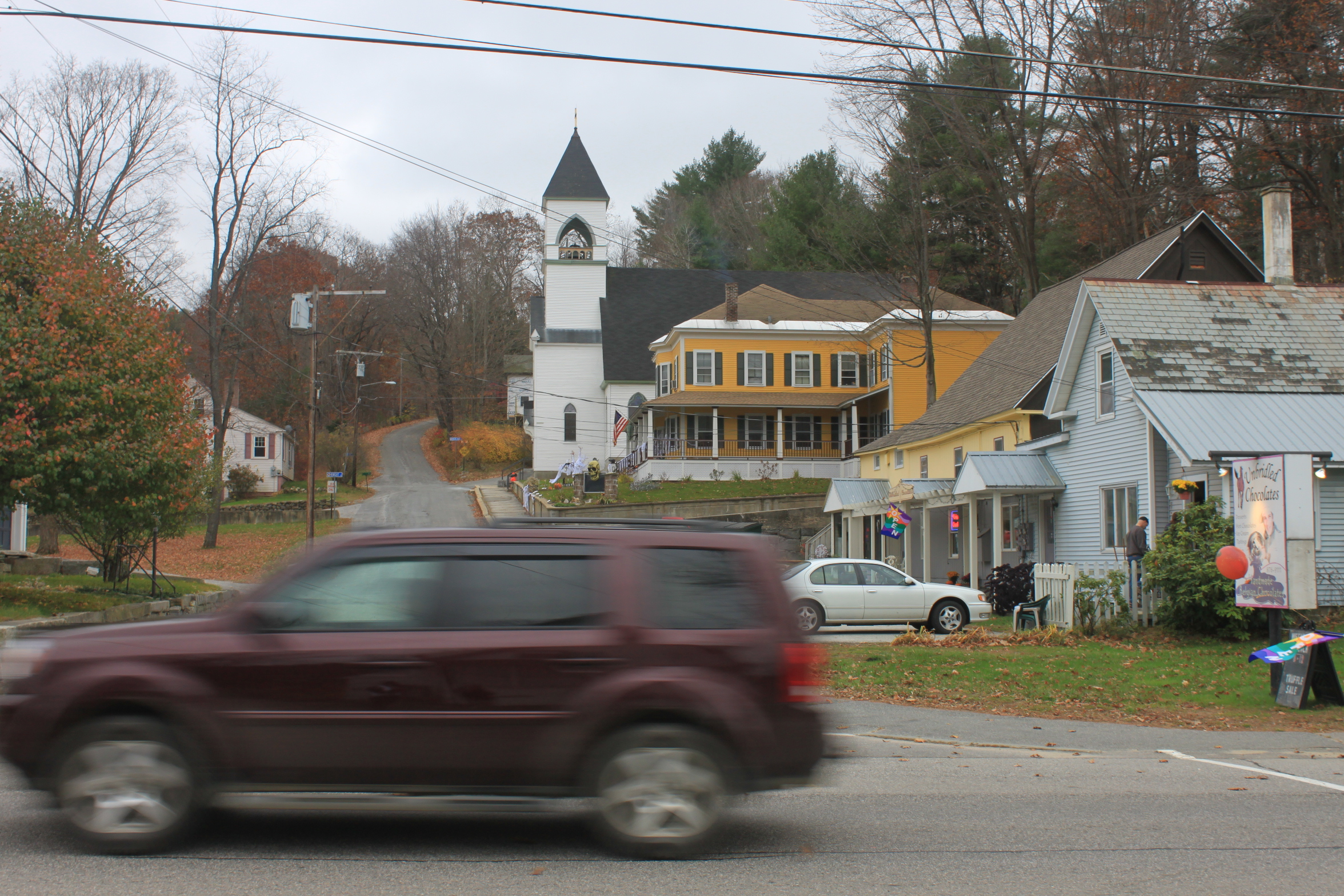
Through support from the Monadnock Alliance for Sustainable Transportation and Southwest Region Planning Commission, the Town of Marlborough is currently working to better understand road safety and accessibility issues and to develop a town policy to guide transportation-related improvements over time. This “Complete Streets” policy envisions a road network designed to enable safe access for all users, including people driving, walking, and biking. And, each “Complete Street” will look different depending on where it is and what the street is used for. Design elements may include things like a sidewalk, bike lanes or paved shoulders, new or improved pedestrian crossings, or other changes depending on the context of who, how and why people tend to use the street.
Over the next few months, staff from Southwest Region Planning Commission will:
- Share best practices about complete streets policy development.
- Discuss the Town’s needs/desires relative to accommodating different modes of transportation and user groups.
- Engage people who live and/or work in Marlborough about road safety and accessibility concerns.
- Develop a list of potential implementation projects to consider for implementation.
In the online survey (www.surveymonkey.com/r/marlborough-complete-streets), we want to hear from you about your perception of safety and how you get around in Marlborough.
Using an interactive website (https://bit.ly/3StzU7I), you can mark a map according to the following choices:
- Safe area or feature – areas or specific features that make you feel safe walking, biking or driving.
- Unsafe area or feature – areas or specific locations that make you feel unsafe.
- Idea for transportation improvements – ideas to improve the safety along a route or at a certain spot.
- Popular routes or destinations – help decide where to prioritize safety improvements.
- General comment/question.
You may also comment and vote on what other people feel is a priority.
Together, this information will be used to make road safety improvements over time. Both input opportunities have been extended through March 31st. For other questions or comments, please contact Henry Underwood, GIS Specialist/Planner at hunderwood@swrpc.org or 603-357-0557 x 18.